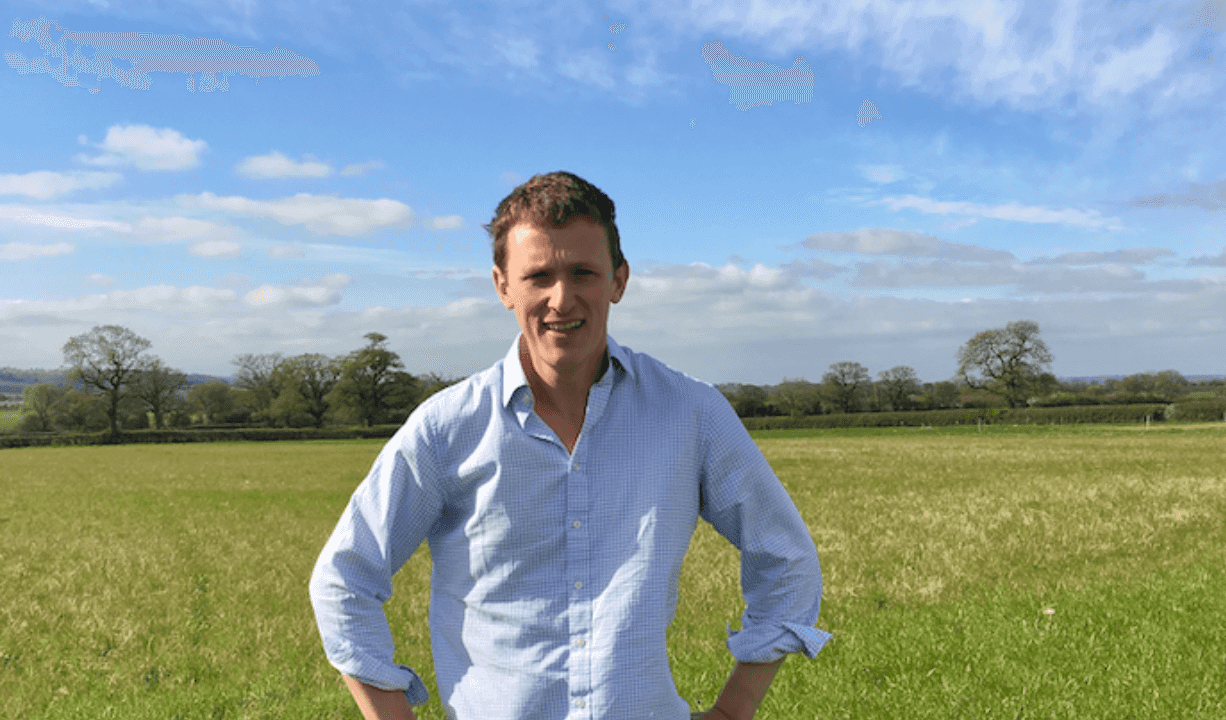
Rob Boole, a contractor, stood in a field with hands on hips

How a contractor has streamlined their work with fieldmargin

“I can save locations and key information about the jobs on the app.”Rob Boole - Contractor, UK

Read more

For contractors

  • Create digital maps of your clients farms
  • Share with all your team Set up jobs to streamline communication and records
  • Automatically calculates job areas and inputs used
  • Record input costs to help with billing
  • Invite clients so they can see progress or add information
  • Mark out key information like Health and Safety hazards
  • Team members can share their location with Team Radar

For agronomists

  • Streamline communication with farm clients
  • All field history on hand in the field or the office
  • Visually plan rotations with Farm Years Make located scouting notes on the go
  • Set up field work with spray or fertilizer rates and share with the farmer
  • Pesticide database for quick job set up
  • Use Field Health satellite imagery to identify
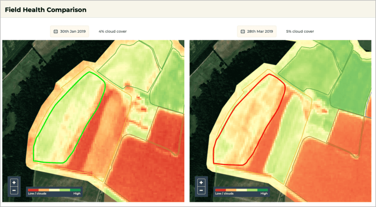
A screenshot of field health comparison in the fieldmargin web app

How a UK Agronomist is using NDVI analysis in practical ways

“The design of fieldmargin and Field Health is very user friendly, for example being able to see two maps on the same screen is very useful as it means I can assess growth over time with my clients.”Kieran Walsh - Agronomist, UK

Read more

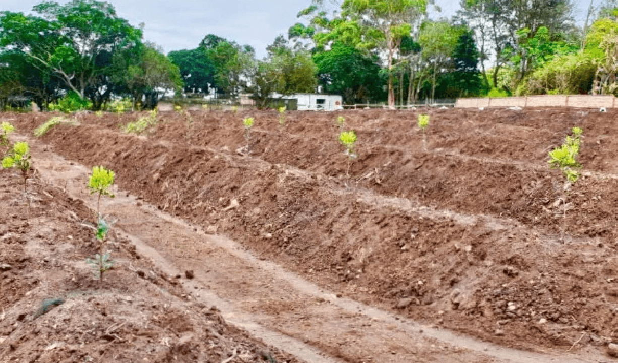
A field with plants beginning to shoot

Macadamia consultant uses fieldmargin to make precision farming recommendations from drone imagery

“DroneDeploy makes it easy to plan drone flights and convert the images from them to maps. The maps are then automatically transferred to fieldmargin. The process is really quick and slick.”Liam Highcock - Consultant, South Africa

Read more

For service providers

  • Create a digital map of your job
  • Draw out work to be done with points, lines and areas
  • Record what has been completed with photos for evidence
  • Share with farm owners or print reports so they can see proposed and completed work
  • Export data as spreadsheets and shape files
  • Integrates with Drone Deploy and Skippy Scout for fast flight planning

For advisors

  • Straight forward record keeping and reporting
  • Easily share records and work plans with the farm team
  • Map out infrastructure changes with features
  • Log data measurements such as soil tests or biodiversity levels
  • Export reports and work records Calculate costs
  • For vets and nutritionists view grazing and group treatment records
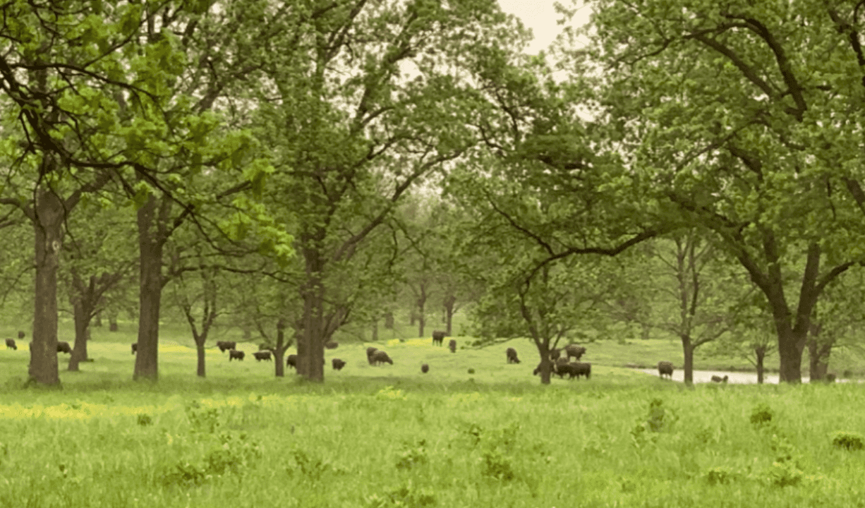
A field with trees and cows in it

Using fieldmargin to design grazing plans at a holistic cattle ranch in Tulsa, Oklahoma

“Using this imagery I assess available biomass to determine which paddock I will graze and the timing of that grazing.”Eric Perner - Advisor, USA

Read more

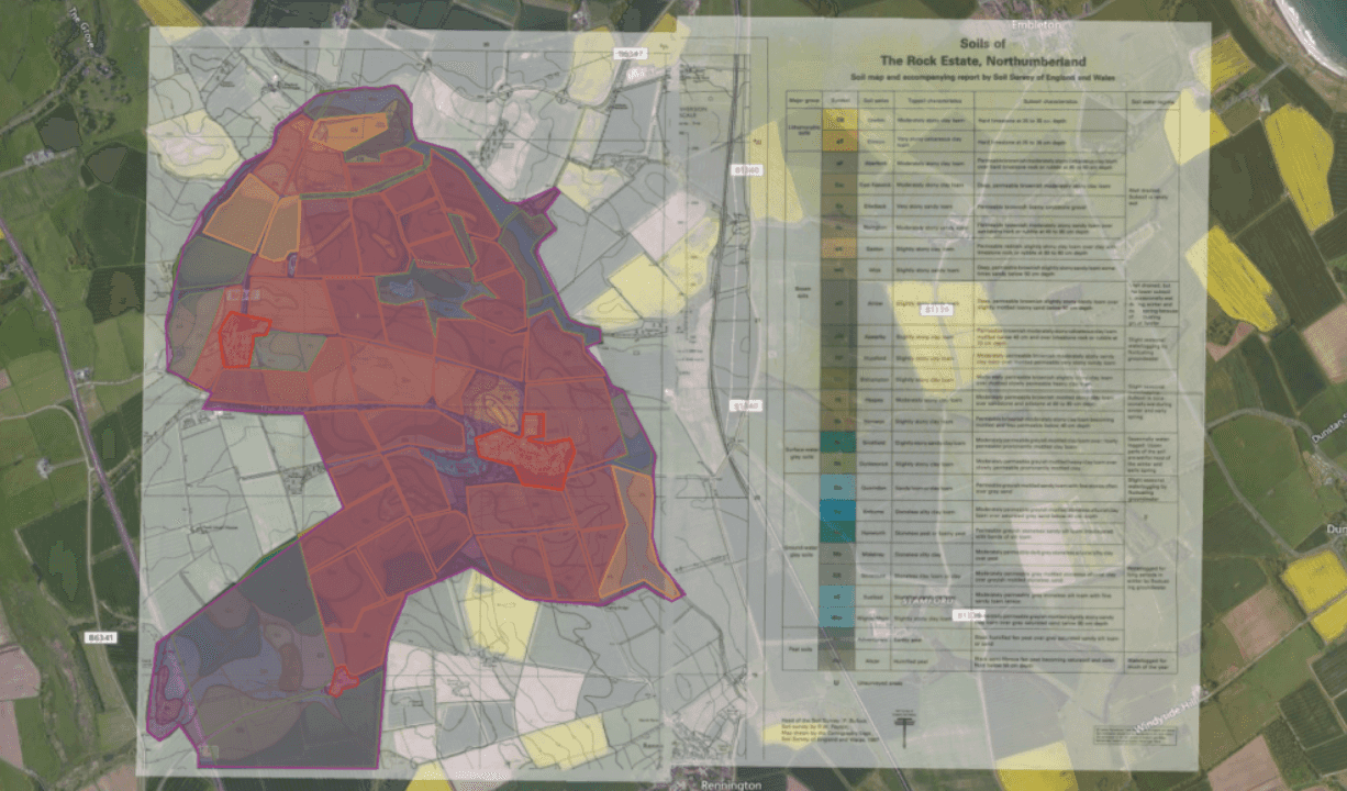
A screenshot of a map overlaid on satellite imagery in the fieldmargin app

Soil Science Students at Newcastle University use fieldmargin to plan sustainable cropping

“It is very difficult to work out hectares on some software, and this app just works it out automatically for you, which is great!.”Gianluca Amicarelli - Student at University of Newcastle, UK

Read more

Academia and research

  • Share access to university farm data with students
  • Use for on-farm research projects
  • Mark out research plots Log observations and photos
  • Export data for reports and analysis
  • Student discount available for users with a university email address

Smallholder groups and NGOs

  • Share farming practices across group members
  • Map fields and infrastructure
  • Plan cropping and record livestock
  • Discount available for smallholders and charities
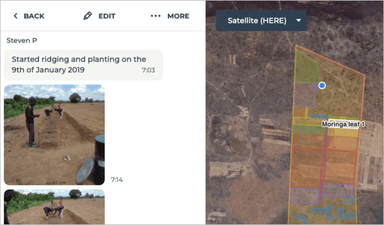
Screenshot of a note being viewed in the fieldmargin app

How the Moringa Development Corporation helps smallholders in Zambia adopt new farming practices with fieldmargin

“I believe fieldmargin will have a big impact for small scale rural farmers by providing an easy to use mobile tool for planning, measuring, and communication.”Steven Putter - Advisor, Zambia

Read more